基于遥感和多源地理数据的城市土地利用分类
吴琳琳1,2( ), 李晓燕1(), 毛德华2, 王宗明2
), 李晓燕1(), 毛德华2, 王宗明2
Urban land use classification based on remote sensing and multi-source geographic data
WU Linlin1,2(), LI Xiaoyan1(), MAO Dehua2, WANG Zongming2
), LI Xiaoyan1(), MAO Dehua2, WANG Zongming2
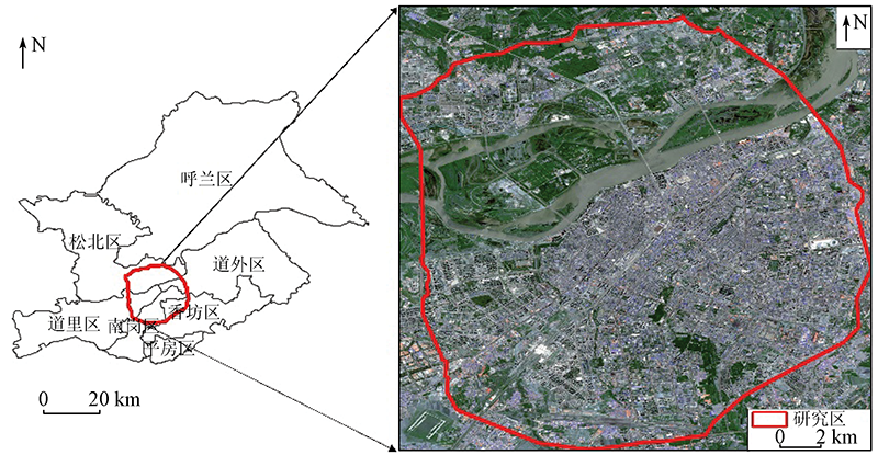
图1. 研究区位置示意图(Sentinel-2A真彩色合成影像)
Fig.1. Location of the study area