基于长时间序列遥感数据的深圳景观连通性动态变化研究
Dynamic changes in the landscape connectivity in Shenzhen City determined based on the long time series of remote sensing data
基于长时间序列遥感数据的深圳景观连通性动态变化研究 |
| 唐文魁, 俞露, 周伟奇, 岳隽, 周正 |
|
Dynamic changes in the landscape connectivity in Shenzhen City determined based on the long time series of remote sensing data |
| TANG Wenkui, YU Lu, ZHOU Weiqi, YUE Jun, ZHOU Zheng |
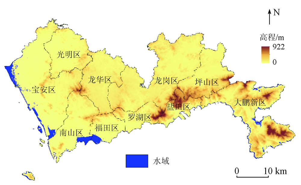
| 图1 深圳市行政区与陆域高程分布 |
| Fig.1 Shenzhen administrative diagram and elevation distribution |
|
|