基于遥感和行业调查数据的城市土地集约利用水平评估
Assessing intensive urban land use based on remote sensing images and industry survey data
基于遥感和行业调查数据的城市土地集约利用水平评估 |
| 王海雯, 贾俊青, 李北辰, 董永平, 哈斯尔 |
|
Assessing intensive urban land use based on remote sensing images and industry survey data |
| WANG Haiwen, JIA Junqing, LI Beichen, DONG Yongping, HA Sier |
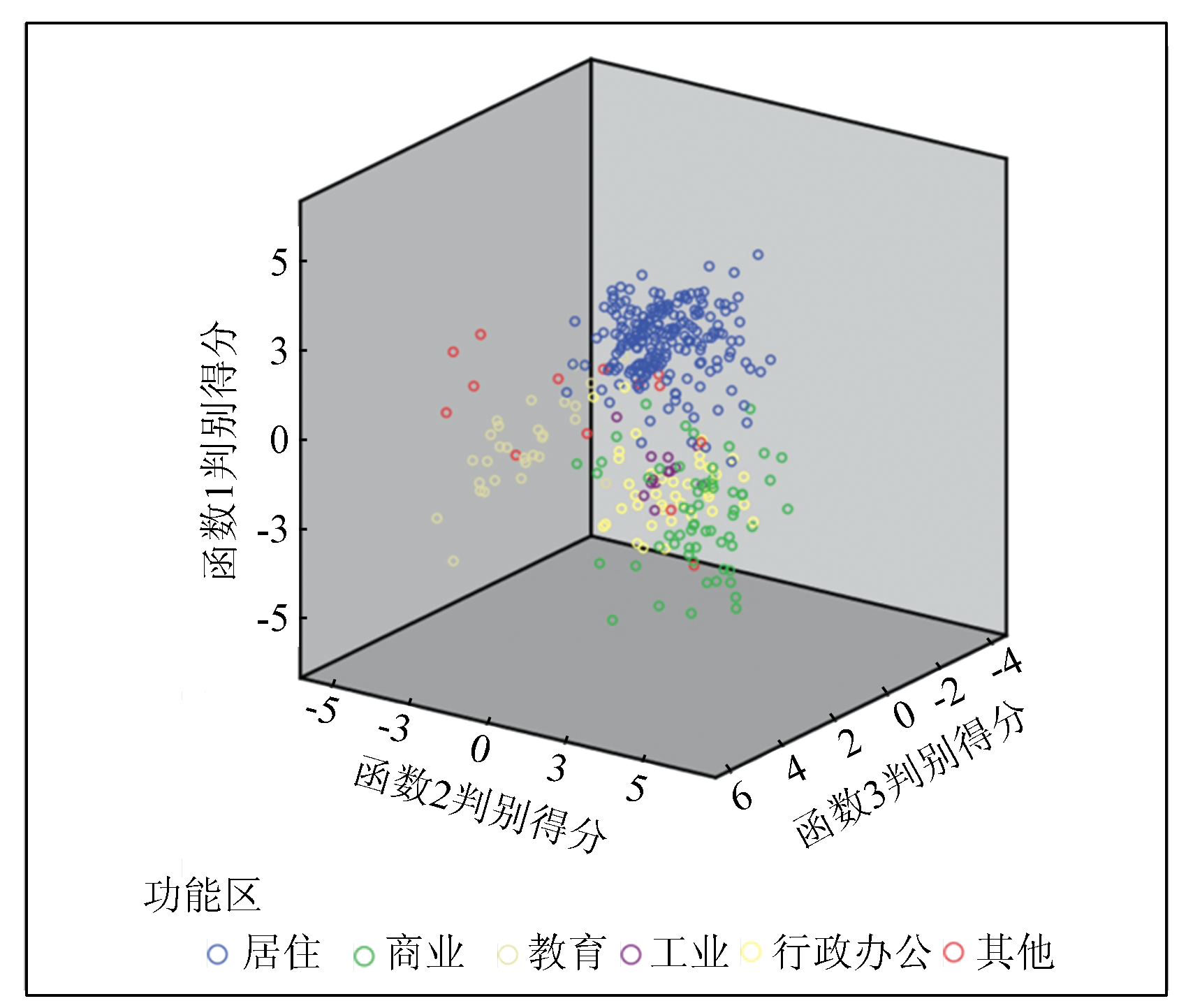
| 图4 呼和浩特中心城区功能区分类三维散点分布 |
| Fig.4 Three-dimensional scatter plot of the classification of functional areas in the central urban area of Hohhot |
|
|