整合多源遥感数据的洪涝灾害评估恢复——以河南“7·20”暴雨灾害为例
Post-flood recovery assessment based on multi-source remote sensing data:A case study of the “7·20” rainstorm in Henan
整合多源遥感数据的洪涝灾害评估恢复——以河南“7·20”暴雨灾害为例 |
| 黎孟琦, 李功权, 谢志辉 |
|
Post-flood recovery assessment based on multi-source remote sensing data:A case study of the “7·20” rainstorm in Henan |
| LI Mengqi, LI Gongquan, XIE Zhihui |
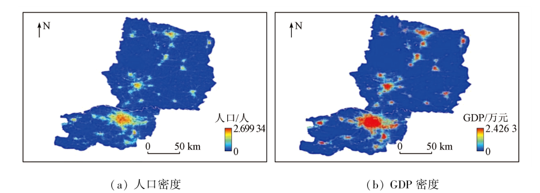
| 图8 2021年河南研究区10 m空间分辨率人口和GDP密度 |
| Fig.8 10-meter spatial resolution population and GDP density map of the study area in 2021 |
|
|