基于高分辨率遥感影像和改进U-Net模型的滑坡提取——以汶川地区为例
Information extraction of landslides based on high-resolution remote sensing images and an improved U-Net model: A case study of Wenchuan, Sichuan
基于高分辨率遥感影像和改进U-Net模型的滑坡提取——以汶川地区为例 |
| 白石, 唐攀攀, 苗朝, 金彩凤, 赵博, 万昊明 |
|
Information extraction of landslides based on high-resolution remote sensing images and an improved U-Net model: A case study of Wenchuan, Sichuan |
| BAI Shi, TANG Panpan, MIAO Zhao, JIN Caifeng, ZHAO Bo, WAN Haoming |
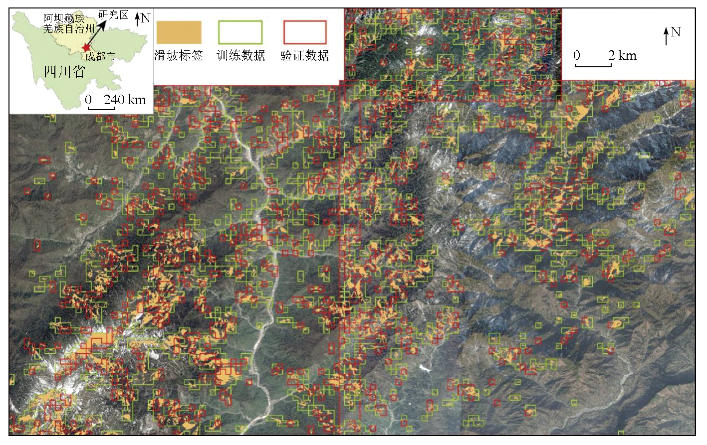
| 图1 研究区位置及Google Earth遥感影像 |
| Fig.1 Location of the study area and Google Earth remote sensing image |
|
|