联合激光点云与立体卫星影像的露滩地区精准测绘
Precise mapping of open beach areas by combining laser point clouds and stereo optical satellite imagery
联合激光点云与立体卫星影像的露滩地区精准测绘 |
| 王宗伟, 陆敏燕, 范仪琳 |
|
Precise mapping of open beach areas by combining laser point clouds and stereo optical satellite imagery |
| WANG Zongwei, LU Minyan, FAN Yilin |
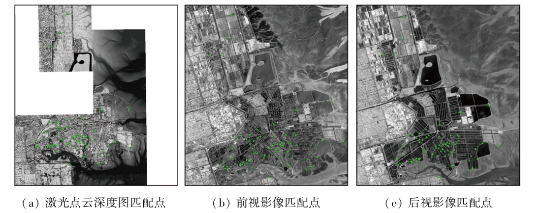
| 图5 LiDAR与GF-7立体卫星影像自动提取像控点点位分布 |
| Fig.5 Automatic extraction of image control point distribution maps from LiDAR and GF-7 stereo satellite images |
|
|