基于ArcPy与图面优化的国家级自然保护地遥感监测成果自动制图方法
A method for automatic mapping of the remote sensing monitoring results of national nature reserves based on ArcPy and map optimization
基于ArcPy与图面优化的国家级自然保护地遥感监测成果自动制图方法 |
| 王体鑫, 杨金中, 邢宇, 王开建 |
|
A method for automatic mapping of the remote sensing monitoring results of national nature reserves based on ArcPy and map optimization |
| WANG Tixin, YANG Jinzhong, XING Yu, WANG Kaijian |
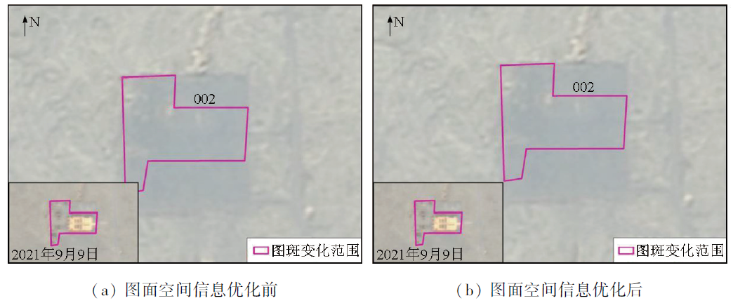
| 图4 图面空间信息优化前后对比 |
| Fig.4 Comparison of spatial information optimization before and after mapping |
|
|