面向条带状航测区域的无人机曲线航线设计方法探索
Exploration of curved UAV flight path design methods for banded aerial survey areas
面向条带状航测区域的无人机曲线航线设计方法探索 |
| 孙鑫超, 骆奇峰, 何宗友, 张奥丽, 蔡国林 |
|
Exploration of curved UAV flight path design methods for banded aerial survey areas |
| SUN Xinchao, LUO Qifeng, HE Zongyou, ZHANG Aoli, CAI Guolin |
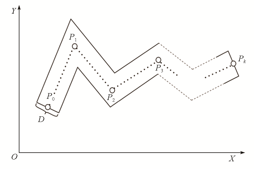
| 图1 构建坐标系 |
| Fig.1 Constructing the coordinate system |
|
|