浙江省宁波地区地质灾害隐患点遥感综合监测识别
Monitoring and identification of potential geological hazard sites using comprehensive remote sensing in Ningbo, Zhejiang Province
浙江省宁波地区地质灾害隐患点遥感综合监测识别 |
| 高峰, 张弘怀, 周伟, 王星星, 孙丽影, 许文新, 吴迪 |
|
Monitoring and identification of potential geological hazard sites using comprehensive remote sensing in Ningbo, Zhejiang Province |
| GAO Feng, ZHANG Honghuai, ZHOU Wei, WANG Xingxing, SUN Liying, XU Wenxin, WU Di |
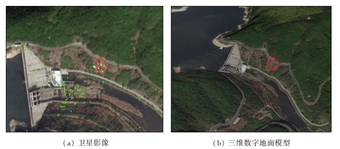
| 图12 野外核查形变点在卫星影像与三维数字地面模型上的位置示意图 |
| Fig.12 Schematic diagram of deformation points for field verification on satellite image and DEM |
|
|