浙江省宁波地区地质灾害隐患点遥感综合监测识别
Monitoring and identification of potential geological hazard sites using comprehensive remote sensing in Ningbo, Zhejiang Province
浙江省宁波地区地质灾害隐患点遥感综合监测识别 |
| 高峰, 张弘怀, 周伟, 王星星, 孙丽影, 许文新, 吴迪 |
|
Monitoring and identification of potential geological hazard sites using comprehensive remote sensing in Ningbo, Zhejiang Province |
| GAO Feng, ZHANG Honghuai, ZHOU Wei, WANG Xingxing, SUN Liying, XU Wenxin, WU Di |
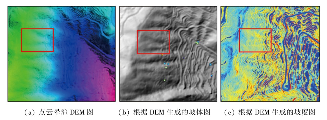
| 图18 宁海县陈家坑村点云渲染DEM图与根据DEM生成的坡体、坡度图 |
| Fig.18 Point cloud rendered DEM image with slope and slope gradient maps generated from DEM in Chenjiakeng Village, Ninghai County |
|
|