Densely connected multiscale semantic segmentation for land cover based on the iterative optimization strategy for samples
ZHENG Zongsheng1(), GAO Meng1(), ZHOU Wenhuan1, WANG Zhenghan1, HUO Zhijun1, ZHANG Yuewei2
1. Department of Information, Shanghai Ocean University, Shanghai 201306, China 2. Guangzhou Meteorological Satellite Ground Station, Guangzhou 510650, China
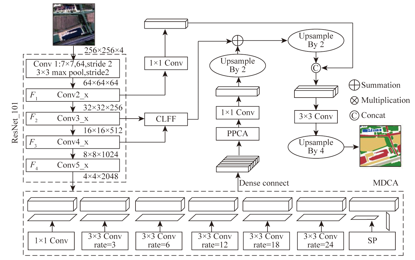
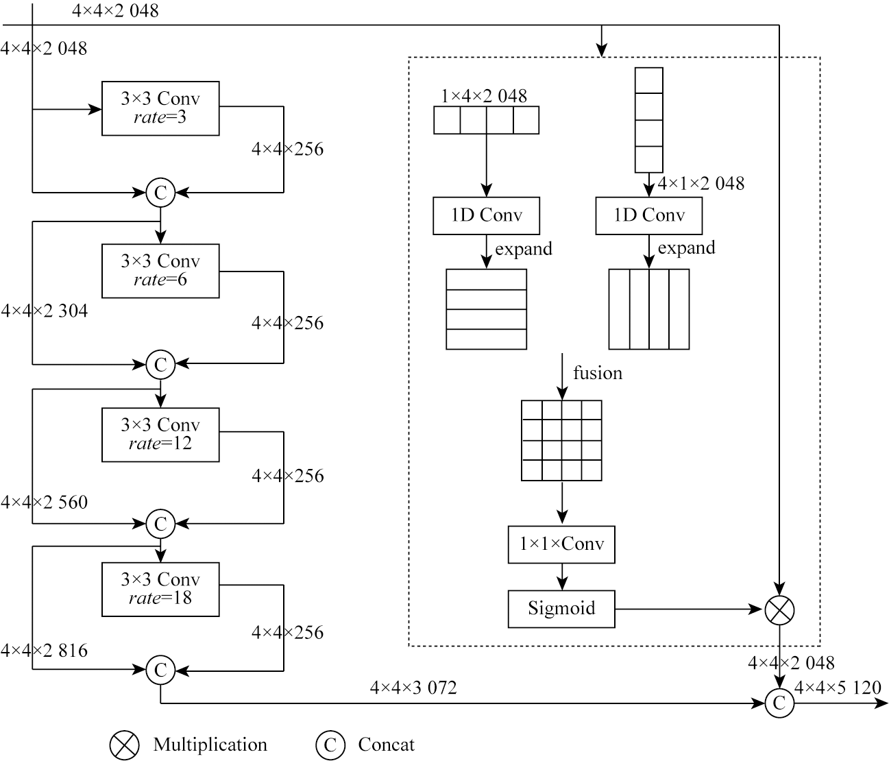
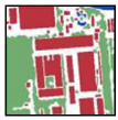
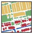
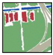
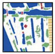
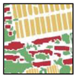
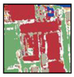
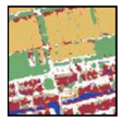
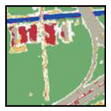
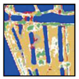
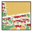
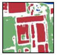
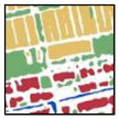
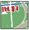
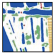
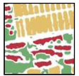
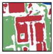
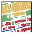
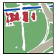
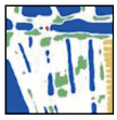
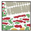
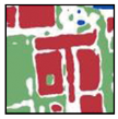
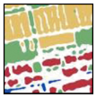
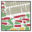
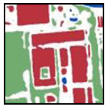
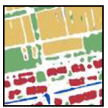
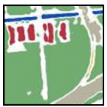
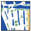
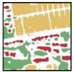
To address the issues of missing small-scale surface features and incomplete continuous features in segmentation results, this study proposed a densely connected multiscale semantic segmentation network (DMS-Net) model for land cover segmentation. The model integrates a multiscale densely connected atrous spatial convolution pyramid pooling module and strip pooling to extract multiscale and spatially continuous features. A position paralleling Channel attention module (PPCA) is employed to assess feature weights for high-efficiency expression. A cascade low-level feature fusion (CLFF) module is applied to capture neglected low-level features, further complementing details. Experimental results demonstrate that the DMS-Net model achieved an overall accuracy (OA) of 89.97 % and a mean intersection over union (mIoU) of 75.59 % on an iteratively extended dataset, outperforming traditional machine learning methods and deep learning models like U-Net, PSPNet, and Deeplabv3+. The segmentation results of the DMS-Net model reveal structurally complete surface features with clear boundaries, underscoring its practical value in multiscale extraction and analysis of remote sensing information for land cover.
Li C L, Li Z Y, Gao Z H, et al. Remote sensing recognition of land use/land cover in the Beijing-Tianjin sandstorm source region based on SNIC-CNN-SVM model[J]. Acta Ecologica Sinica, 2022, 42(23):9830-9842.
Yu X P, Zhang H, Zhang T G, et al. Review of land use/land cover based on remote sensing technology[C]// Chinese Society for Environmental Sciences.Proceedings of the 2015 Annual Conference of the Chinese Society of Environmental Sciences, 2015:6.
Li G Q, Bai Y Q, Yang X, et al. Automatic deep learning land cover classification methods of high-resolution remotely sensed images[J]. Journal of Geo-Information Science, 2021, 23(9):1690-1704.
Zheng Z S, Liu H X, Wang Z H, et al. Improved classification method of 3D-CNN hyperspectral images[J]. Remote Sensing for Natural Resources, 2023, 35(2):105-111.doi:10.6046/zrzyyg.2022100.
[5]
Chen L C, Papandreou G, Schroff F, et al. Rethinkingatrous convolution for semantic image segmentation[EB/OL]. 2017-12-05. http://arXiv.org/org/1706.05587.pdf.
[6]
Chen L C, Zhu Y, Papandreou G, et al. Encoder-decoder with atrous separable convolution for semantic image segmentation[C]// European Conference on Computer Vision. Cham:Springer, 2018:833-851.
[7]
张群. 基于改进的SegNet城市遥感图像语义分割算法研究[D]. 南昌: 南昌大学, 2021.
Zhang Q. Research on semantic segmentation algorithm of urban remote sensing image based on improved SegNet[D]. Nanchang: Nanchang University, 2021.
[8]
Diakogiannis F I, Waldner F, Caccetta P, et al. ResUNet-a:A deep learning framework for semantic segmentation of remotely sensed data[J]. ISPRS Journal of Photogrammetry and Remote Sensing, 2020, 162:94-114.
Liu Z, Liao F F, Zhao T. Remote sensing image urban built-up area extraction and optimization method based on PSPNet[J]. Remote Sensing for Natural and Resources, 2020, 32(4):84-89.doi:10.6046/gtzyyg.2020.04.12.
Liu Z, Zhao T, Liao F F, et al. Research and comparative analysis on urban built-up area extraction methods from high-resolution remote sensing image based on semantic segmentation network[J]. Remote Sensing for Land and Resources, 2021, 33(1):45-53.doi:10.6046/gtzyyg.2020162.
Cheng R. Information extraction of urban public space from GF-1 images based on deep learning[D]. Nanjing: Nanjing University of Posts and Telecommunications, 2021.
Liu S, Li X Y, Yu M, et al. Dual decoupling semantic segmentation model for high-resolution remote sensing images[J]. Acta Geodaetica et Cartographica Sinica, 2023, 52(4):638-647.
doi: 10.11947/j.AGCS.2023.20210455
[13]
Wang Z, Wang J, Yang K, et al. Semantic segmentation of high-resolution remote sensing images based on a class feature attention mechanism fused with Deeplabv3+[J]. Computers & Geosciences, 2022, 158:104969.
Lu C, Yang X M, Wang Z H. Supervised dense rural residential extraction from high-resolution remote sensing images based on automatically augmentation of training samples[J]. Journal of Geo-Information Science, 2018, 20(9):1306-1315.
[15]
Zhao C, Huang Y. A Deep neural networks approach for augmenting samples of land cover classification[J]. Land, 2020, 9(8):271.
Gai Y M, Samat Alim, Wang W, et al. Sample transferring based fast land cover updating in arid land[J]. Remote Sensing Technology and Application, 2022, 37(2):333-341.
Wu W, Zhang Y, Li Q Z, et al. A hierarchical classification and iterative model based method for remote sensing classification of land cover[J]. Remote Sensing Technology and Application, 2019, 34(1):68-78.
[18]
Lei G B, Li A N, Bian J H, et al. OIC-MCE:A practical land cover mapping approach for limited samples based on multiple classifier ensemble and iterative classification[J]. Remote Sensing, 2020; 12(6):987.
 2025, Vol. 37
  ), 高萌1(