|
|
 |
|

|
|
|
Densely connected multiscale semantic segmentation for land cover based on the iterative optimization strategy for samples |
ZHENG Zongsheng1( ), GAO Meng1(), ZHOU Wenhuan1, WANG Zhenghan1, HUO Zhijun1, ZHANG Yuewei2 ), GAO Meng1(), ZHOU Wenhuan1, WANG Zhenghan1, HUO Zhijun1, ZHANG Yuewei2 |
1. Department of Information, Shanghai Ocean University, Shanghai 201306, China
2. Guangzhou Meteorological Satellite Ground Station, Guangzhou 510650, China |
|
|
|
|
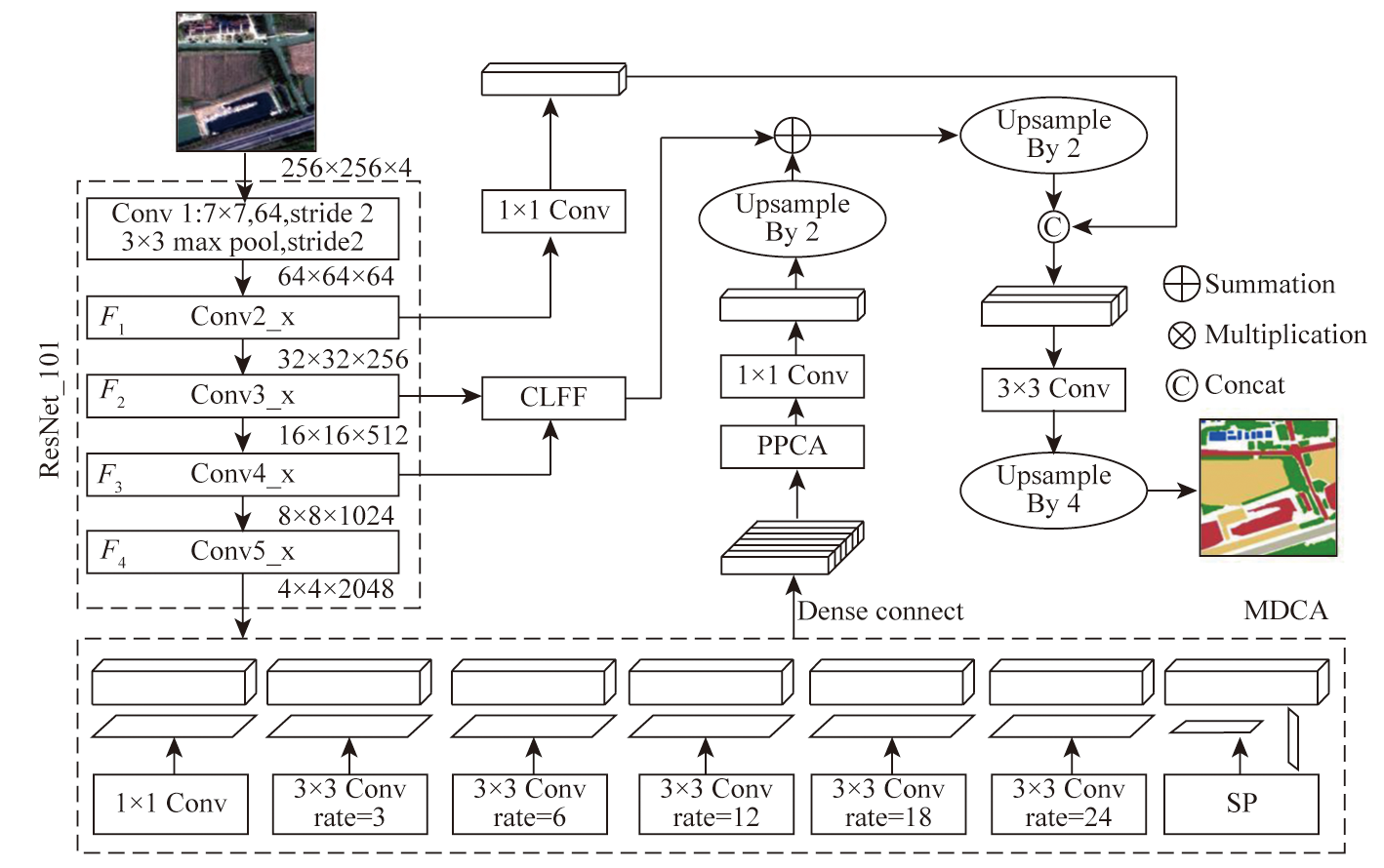
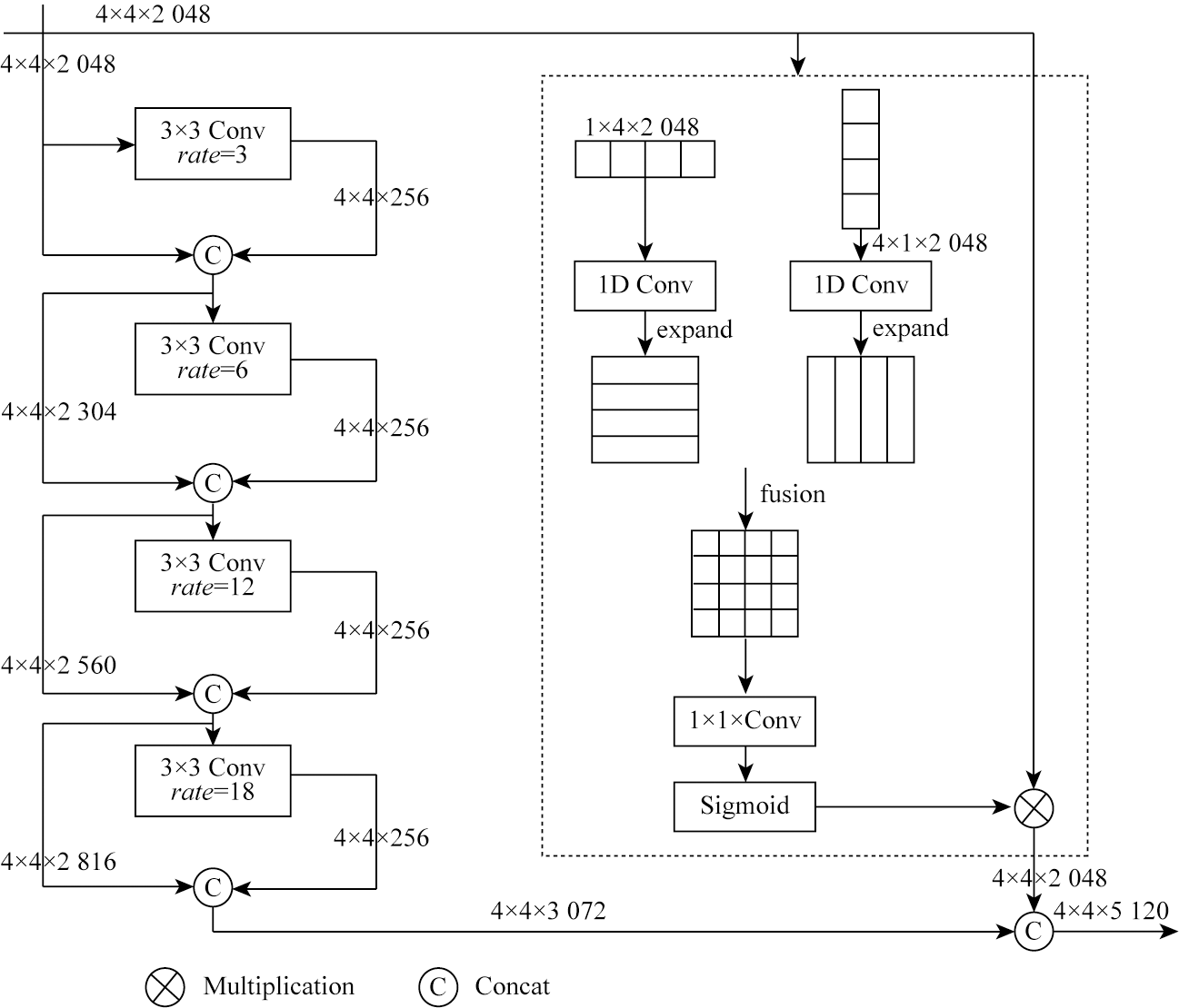
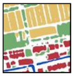
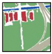
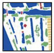
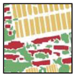
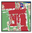
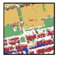
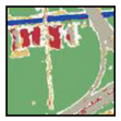
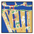
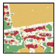
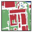
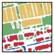
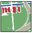
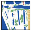
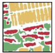
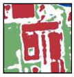
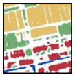
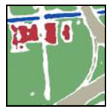
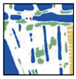
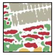
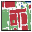
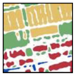
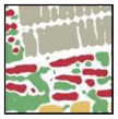
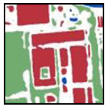
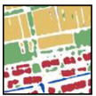
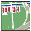
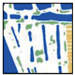
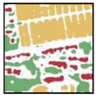
Abstract To address the issues of missing small-scale surface features and incomplete continuous features in segmentation results, this study proposed a densely connected multiscale semantic segmentation network (DMS-Net) model for land cover segmentation. The model integrates a multiscale densely connected atrous spatial convolution pyramid pooling module and strip pooling to extract multiscale and spatially continuous features. A position paralleling Channel attention module (PPCA) is employed to assess feature weights for high-efficiency expression. A cascade low-level feature fusion (CLFF) module is applied to capture neglected low-level features, further complementing details. Experimental results demonstrate that the DMS-Net model achieved an overall accuracy (OA) of 89.97 % and a mean intersection over union (mIoU) of 75.59 % on an iteratively extended dataset, outperforming traditional machine learning methods and deep learning models like U-Net, PSPNet, and Deeplabv3+. The segmentation results of the DMS-Net model reveal structurally complete surface features with clear boundaries, underscoring its practical value in multiscale extraction and analysis of remote sensing information for land cover.
|
| Keywords
deep learning
fully convolutional neural network
multiscale
semantic segmentation
land cover
|
|
|
|
Issue Date: 09 May 2025
|
|
|
| [1] |
李长龙, 李增元, 高志海, 等. 基于SNIC-CNN-SVM模型的京津风沙源二期工程区土地利用/土地覆盖遥感识别研究[J]. 生态学报, 2022, 42(23):9830-9842.
|
| [1] |
Li C L, Li Z Y, Gao Z H, et al. Remote sensing recognition of land use/land cover in the Beijing-Tianjin sandstorm source region based on SNIC-CNN-SVM model[J]. Acta Ecologica Sinica, 2022, 42(23):9830-9842.
|
| [2] |
于欣沛, 张慧, 张腾戈, 等. 基于遥感技术的土地利用/土地覆盖的研究综述[C]// 中国环境科学学会.2015年中国环境科学学会学术年会论文集, 2015:6.
|
| [2] |
Yu X P, Zhang H, Zhang T G, et al. Review of land use/land cover based on remote sensing technology[C]// Chinese Society for Environmental Sciences.Proceedings of the 2015 Annual Conference of the Chinese Society of Environmental Sciences, 2015:6.
|
| [3] |
李国清, 柏永青, 杨轩, 等. 基于深度学习的高分辨率遥感影像土地覆盖自动分类方法[J]. 地球信息科学学报, 2021, 23(9):1690-1704.
doi: 10.12082/dqxxkx.2021.200795
|
| [3] |
Li G Q, Bai Y Q, Yang X, et al. Automatic deep learning land cover classification methods of high-resolution remotely sensed images[J]. Journal of Geo-Information Science, 2021, 23(9):1690-1704.
|
| [4] |
郑宗生, 刘海霞, 王振华, 等. 改进3D-CNN的高光谱图像地物分类方法[J]. 自然资源遥感, 2023, 35(2):105-111.doi:10.6046/zrzyyg.2022100.
|
| [4] |
Zheng Z S, Liu H X, Wang Z H, et al. Improved classification method of 3D-CNN hyperspectral images[J]. Remote Sensing for Natural Resources, 2023, 35(2):105-111.doi:10.6046/zrzyyg.2022100.
|
| [5] |
Chen L C, Papandreou G, Schroff F, et al. Rethinkingatrous convolution for semantic image segmentation[EB/OL]. 2017-12-05. http://arXiv.org/org/1706.05587.pdf.
url: http://arXiv.org/org/1706.05587.pdf
|
| [6] |
Chen L C, Zhu Y, Papandreou G, et al. Encoder-decoder with atrous separable convolution for semantic image segmentation[C]// European Conference on Computer Vision. Cham:Springer, 2018:833-851.
|
| [7] |
张群. 基于改进的SegNet城市遥感图像语义分割算法研究[D]. 南昌: 南昌大学, 2021.
|
| [7] |
Zhang Q. Research on semantic segmentation algorithm of urban remote sensing image based on improved SegNet[D]. Nanchang: Nanchang University, 2021.
|
| [8] |
Diakogiannis F I, Waldner F, Caccetta P, et al. ResUNet-a:A deep learning framework for semantic segmentation of remotely sensed data[J]. ISPRS Journal of Photogrammetry and Remote Sensing, 2020, 162:94-114.
|
| [9] |
刘钊, 廖斐凡, 赵桐. 基于PSPNet的遥感影像城市建成区提取及其优化方法[J]. 国土资源遥感, 2020, 32(4):84-89.doi:10.6046/gtzyyg.2020.04.12.
|
| [9] |
Liu Z, Liao F F, Zhao T. Remote sensing image urban built-up area extraction and optimization method based on PSPNet[J]. Remote Sensing for Natural and Resources, 2020, 32(4):84-89.doi:10.6046/gtzyyg.2020.04.12.
|
| [10] |
刘钊, 赵桐, 廖斐凡, 等. 基于语义分割网络的高分遥感影像城市建成区提取方法研究与对比分析[J]. 国土资源遥感, 2021, 33(1):45-53.doi:10.6046/gtzyyg.2020162.
|
| [10] |
Liu Z, Zhao T, Liao F F, et al. Research and comparative analysis on urban built-up area extraction methods from high-resolution remote sensing image based on semantic segmentation network[J]. Remote Sensing for Land and Resources, 2021, 33(1):45-53.doi:10.6046/gtzyyg.2020162.
|
| [11] |
程瑞. 基于深度学习的GF-1影像下城市公共空间信息提取[D]. 南京: 南京邮电大学, 2021.
|
| [11] |
Cheng R. Information extraction of urban public space from GF-1 images based on deep learning[D]. Nanjing: Nanjing University of Posts and Telecommunications, 2021.
|
| [12] |
刘帅, 李笑迎, 于梦, 等. 高分辨率遥感图像双解耦语义分割网络模型[J]. 测绘学报, 2023, 52(4):638-647.
doi: 10.11947/j.AGCS.2023.20210455
|
| [12] |
Liu S, Li X Y, Yu M, et al. Dual decoupling semantic segmentation model for high-resolution remote sensing images[J]. Acta Geodaetica et Cartographica Sinica, 2023, 52(4):638-647.
doi: 10.11947/j.AGCS.2023.20210455
|
| [13] |
Wang Z, Wang J, Yang K, et al. Semantic segmentation of high-resolution remote sensing images based on a class feature attention mechanism fused with Deeplabv3+[J]. Computers & Geosciences, 2022, 158:104969.
|
| [14] |
陆尘, 杨晓梅, 王志华. 基于样本自动扩充的街区式农村居民地遥感提取方法[J]. 地球信息科学学报, 2018, 20(9):1306-1315.
doi: 10.12082/dqxxkx.2018.170289
|
| [14] |
Lu C, Yang X M, Wang Z H. Supervised dense rural residential extraction from high-resolution remote sensing images based on automatically augmentation of training samples[J]. Journal of Geo-Information Science, 2018, 20(9):1306-1315.
|
| [15] |
Zhao C, Huang Y. A Deep neural networks approach for augmenting samples of land cover classification[J]. Land, 2020, 9(8):271.
|
| [16] |
盖一铭, 阿里木·赛买提, 王伟, 等. 基于样本迁移的干旱区地表覆盖快速更新[J]. 遥感技术与应用, 2022, 37(2):333-341.
doi: 10.11873/j.issn.1004-0323.2022.2.0333
|
| [16] |
Gai Y M, Samat Alim, Wang W, et al. Sample transferring based fast land cover updating in arid land[J]. Remote Sensing Technology and Application, 2022, 37(2):333-341.
|
| [17] |
吴薇, 张源, 李强子, 等. 基于迭代CART算法分层分类的土地覆盖遥感分类[J]. 遥感技术与应用, 2019, 34(1):68-78.
|
| [17] |
Wu W, Zhang Y, Li Q Z, et al. A hierarchical classification and iterative model based method for remote sensing classification of land cover[J]. Remote Sensing Technology and Application, 2019, 34(1):68-78.
|
| [18] |
Lei G B, Li A N, Bian J H, et al. OIC-MCE:A practical land cover mapping approach for limited samples based on multiple classifier ensemble and iterative classification[J]. Remote Sensing, 2020; 12(6):987.
|
|
Viewed |
|
|
|
Full text
|
|
|
|
|
Abstract
|
|
|
|
|
Cited |
|
|
|
|
| |
Shared |
|
|
|
|
| |
Discussed |
|
|
|
|
 2025,
Vol. 37
2025,
Vol. 37